EN
HexPlor'itel
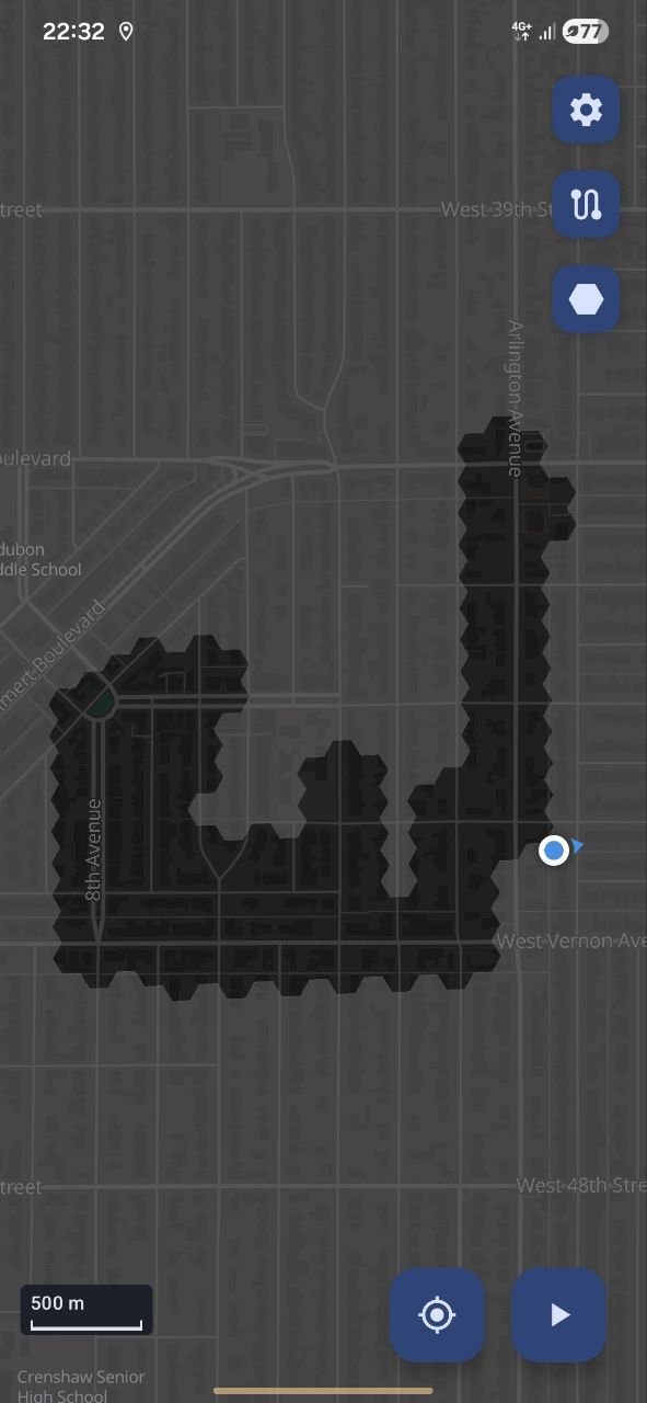
An Android map that records where you have been. A selected area fills with hexagons that disappear
as you move, adding a progressive exploration layer. Key features include
GPS spoofing resistance, Google Timeline import, and offline maps from arbitrary sources.
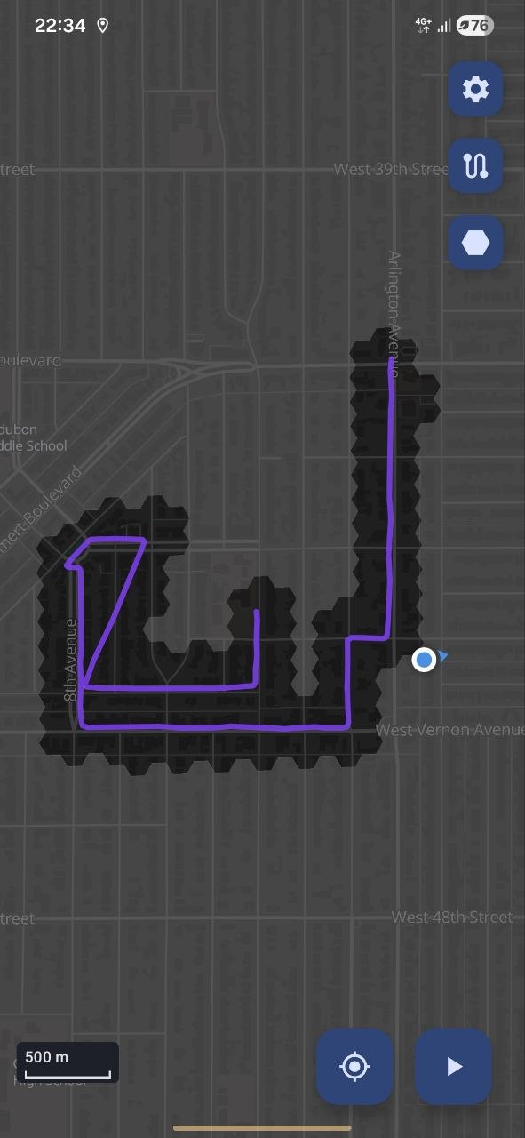
Track recording and GPX import and export are also supported.
Features
06 featuresUncover the map on foot
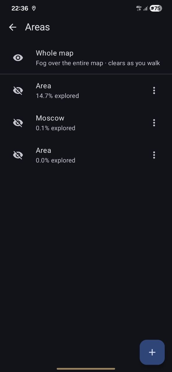
Draw an area anywhere on the map and it fills with grey hexagons. They clear wherever you have physically been, so the map opens only in visited locations. You can redraw or delete an area later without losing the ground you have already covered.
Track walks
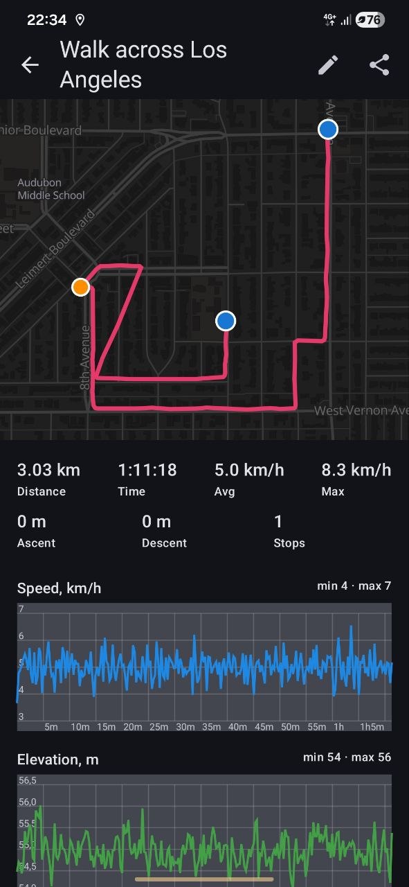
Record a route and get its distance, moving time, speed, ascent and stops, with a speed-coloured line on the map and elevation/speed charts for every walk.
Offline maps
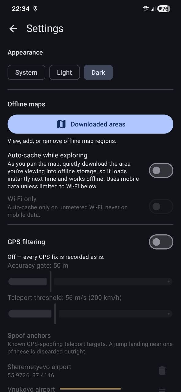
Download any region as a single file and the map keeps working fully offline, which helps where tiles are slow or blocked. When online it streams fast map tiles instantly, then falls back to the downloaded maps the moment the signal drops. The first 4 zoom levels of the world map are built in.
GPS spoof filtering
A configurable filter chain rejects fake, mocked, and physically impossible position fixes, so distance, routes, and coverage stay accurate even in areas with heavy GPS spoofing. It remains active while a track is being recorded.
Import, export, back up
Import tracks from other apps or export them as GPX, and save everything (tracks,
areas, coverage, settings) to a single backup file.
Import accepts GPX and Google Timeline JSON, and short tracks can be filtered
out after import.
Themes and settings
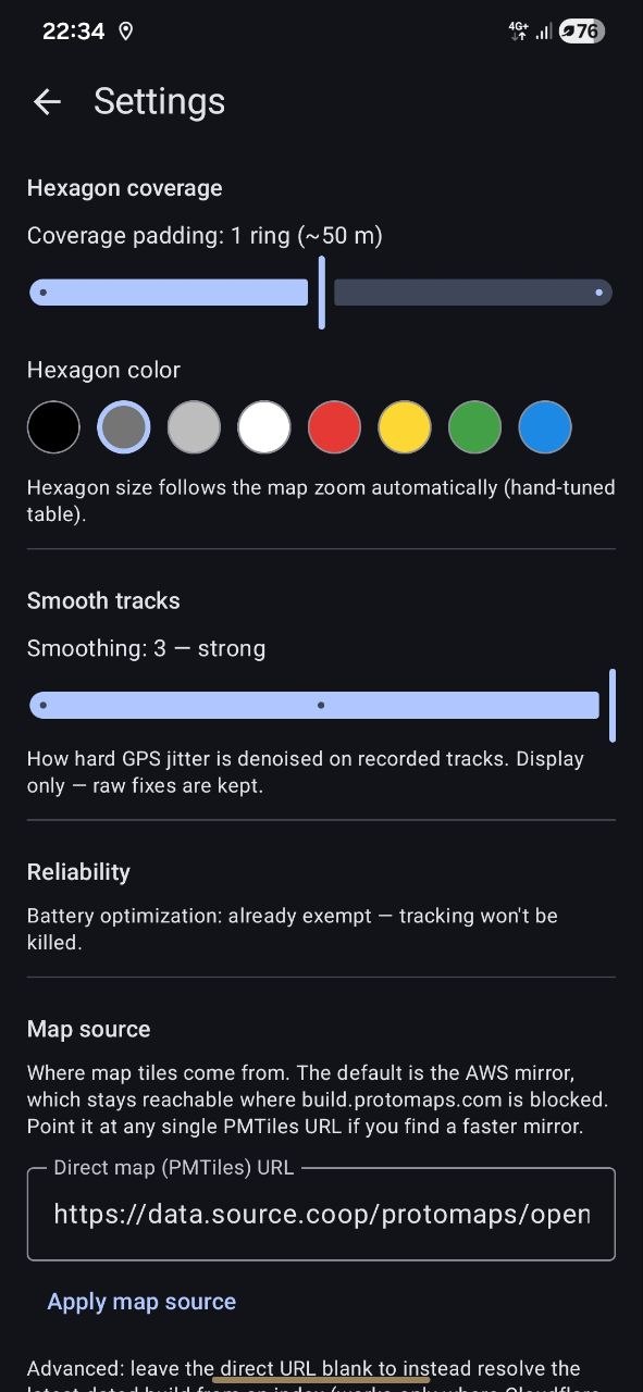
Switch between light and dark themes, pick the hexagon colour, adjust how much each step clears and how strictly fixes are filtered, and choose the online and offline map sources: a preset or your own tile URL.
Screenshots
07 captures, on device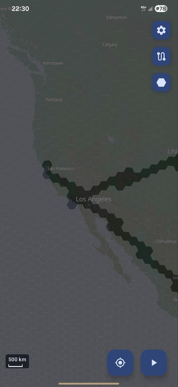
Components
v0.3 betaMap data © OpenStreetMap contributors, basemap by Protomaps